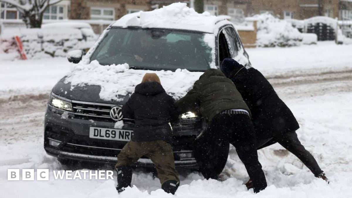
UK Weather: Travel disruption likely as snow and ice warnings hit
An area of rain, sleet and snow moved across the UK on Wednesday morning, with some areas waking up to a covering of snow.
Hills of Wales, northern England, Northern Ireland and Scotland are forecast to see around 2-5cm (0.8-2in) of accumulating snow, with more on higher ground.
Through Wednesday, parts of south west Wales and south west England will continue to see wintry showers move through, with potential for some disruption due to settling snow over high ground.
There is a risk of some ice on Wednesday too, so there are multiple yellow Met Office weather warnings in force across the UK.
Frequent snow showers will continue in northern and eastern Scotland and north east England throughout Wednesday and into Thursday.
Met Office yellow warnings – valid until 23:59 GMT on Thursday – suggest 2-5cm at low levels, but around 15-20cm of snow is possible over 300m.
The North York Moors and even parts of the Yorkshire Wolds could potentially get up to 25cm by Thursday.
It is here where a more severe Met Office amber warning will come into force from 05:00 to 21:00 GMT on Thursday.
This is likely to cause “substantial disruption” with rural communities being cut off, vehicles becoming stranded and potential for power cuts.
Gusty winds leading to blizzards and thunderstorms – thundersnow – may bring additional hazards.
Share this content:


إرسال التعليق